Table of contents
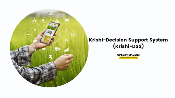
The Krishi-Decision Support System (Krishi-DSS) is a state-of-the-art geospatial platform developed specifically to support and enhance agricultural practices in India. It represents a significant technological advancement in the way data is collected, analyzed, and utilized for agricultural management.

What is Krishi-DSS?
- Krishi-DSS is a first-of-its-kind geospatial platform designed to provide real-time, data-driven insights to stakeholders in the agriculture sector, including farmers, policymakers, researchers, and industry leaders.
- The platform leverages satellite-based geospatial technology and integrates a wide array of data sources to offer comprehensive and actionable information on various aspects of agriculture.
Key Features
- Comprehensive Data Integration:
- Satellite Images: Access to detailed satellite imagery for monitoring crop health, acreage, and overall agricultural conditions.
- Weather Information: Real-time weather data to help farmers and decision-makers anticipate and respond to climatic changes that affect crop production.
- Reservoir Storage and Groundwater Levels: Data on water availability, crucial for effective irrigation planning and drought management.
- Soil Health Information: Includes details like soil type, pH, and fertility, which are essential for determining crop suitability and land management practices.
- Advanced Modules:
- Crop Mapping and Monitoring: Allows for the analysis of cropping patterns over time, helping in the understanding of crop rotation practices and promoting sustainable agriculture.
- Drought Monitoring: Provides near real-time updates on soil moisture, water storage levels, and dry spells, enabling proactive measures to mitigate drought impacts.
- Crop Weather Watch: Monitors the impact of weather on crops, assesses crop harvest status, and tracks crop residue burning.
- Field Parcel Segmentation:
- Targeted Interventions: Accurate segmentation of field parcels helps in understanding the unique needs of each parcel, allowing for precise and targeted agricultural interventions.
- One Nation-One Soil Information System:
- Unified Soil Data: A centralized system that provides comprehensive soil information, aiding in crop suitability assessments and soil conservation efforts.
- Ground Truth Data Library:
- Innovation and Research Support: A repository of ground truth data and spectral libraries for various crops, which supports research and development in the agri-tech sector.
- Disaster Management and Crop Insurance:
- Holistic Solutions: The platform includes tools for flood impact assessment and crop insurance solutions, offering a complete approach to managing agricultural risks.

Strategic Importance
- Empowerment of Farmers: By providing personalized advisories and early warnings (e.g., pest attacks, heavy rains), Krishi-DSS empowers farmers to make informed decisions that enhance productivity and sustainability.
- Support for Policy-Making: The platform’s data-driven insights are crucial for shaping agricultural policies and ensuring food security.
- Collaboration and Innovation: Krishi-DSS fosters collaboration between government, private sector, and academia, accelerating the adoption of space technology in agriculture and driving innovation.
Launch
Krishi-DSS was launched during the National Conference on Space Driven Solutions for Agriculture Transformation in India, which showcased the potential of space technology to address challenges in Indian agriculture. The event highlighted the importance of public-private partnerships, the role of space technology in precision agriculture, and the need for farmer-centric solutions.
Conclusion
Krishi-DSS is a transformative tool that integrates advanced geospatial technology with agricultural data to support the entire agricultural ecosystem. It is a catalyst for innovation, resilience, and sustainability in Indian agriculture, offering a comprehensive platform that addresses the needs of farmers, enhances policy-making, and contributes to the nation’s food security.

